 Northward ho! This Sunday marks the anniversary of the official opening of the Alaska Highway (also known as the Al-Can Highway). Completed in 1942, the Alaska Highway connects Dawson Creek, B.C. with Delta Junction, Alaska, by way of the Yukon. Although originally it was built as a supply road during World War II, the Alaska Highway is now home to travelers exploring the North. But with its endless offerings of adventure and wild beauty, the Highway is a bit of a travel destination in its own right.
If the geography has you slightly confused, check out these maps: one outlines the general route of the Alaska Highway, while several others offer a more close-up view.
Many know that it was fear of Japanese invasion of Alaska that spurred the Alaska Highway project toward completion. But how exactly does one build a permanent road in the unstable northern conditions?with the technology of the 1940s? The PBS film Building the Alaska Highway investigates the question in great depth, but its companion resource site, available online, also provides a wealth of features, photos, maps, and videos?as well as a program transcript?on the same topic.
What better way to discover the history of the building of the Alaska Highway than through pictures of the process? This photo collection was created from photos and negatives brought back by the poster’s grandfather, who worked on the Highway during the 1940s. Although very few of the photos are annotated, in many cases the shots speak for themselves. Regardless, it makes a fascinating historical record.
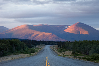
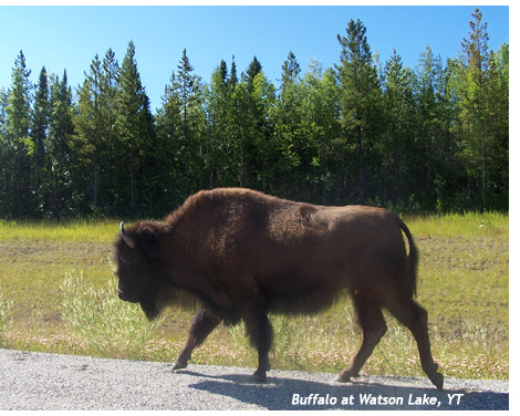
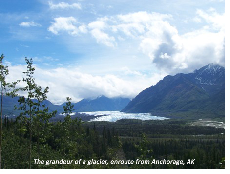
Photos of the highway aren’t just for the pages of history?they’re also a call to the future. It’s hard to remain unmoved by this collection of photos from one individual’s Alaska Highway road trip. Relevant photos can be found in the main ?Road Trip? set and in those labelled Days 3, 4, 5, 6, and 7. As one who’s driven the Alaska Highway twice, I can assure you: if the photos create a bit of wanderlust, give in. The drive is long, but well worth it.


